Industrial drones are transforming Northern Territory agriculture by improving crop monitoring, precision spraying, water management and infrastructure inspection. Built for harsh NT conditions, these commercial-grade drones help farmers reduce labour, lower input costs, improve safety and make faster data-driven decisions across large and remote properties.
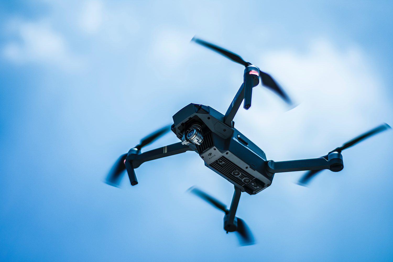
Drones are now a standard tool on farms and stations across the Northern Territory. As industrial drones improve in range, payload and sensors, farmers and agribusinesses are finding new ways to use them to save time, cut costs and manage vast properties more safely and precisely.
For agriculture, industrial drones offer practical ways to lift productivity and profitability while reducing manual work and risk. From crop health checks to infrastructure inspection, they are fast becoming as important as tractors and utes on many operations.
As one NT station manager put it, “The drone is just another part of the tool kit now – like a motorbike or a ute, but with a bird’s‑eye view.”
Industrial Drones In Northern Territory Agriculture

On broadacre farms, orchards and pastoral stations, industrial drones give producers a fast, detailed view of what’s happening across their land. Instead of relying only on ground inspections or manned aircraft, operators can quickly fly a mission and collect high‑quality data.
Some of the major agricultural uses of industrial drones include:
- Frost mitigation
- Monitoring water usage
- Soil analysis
- Checking crop health
- Spraying and seeding
Before industrial drones, farmers and station managers handled most of this work manually. That meant:
- Long days on motorbikes and in vehicles
- Costly helicopter hire for inspection and mustering
- A lot of guesswork across large, remote properties
Now, industrial drones provide a more cost-effective option and dramatically cut the time needed to understand what is happening in a paddock, orchard or pasture — a shift well documented by the Drone Industry Insights global research team tracking commercial adoption across agriculture. A single flight can deliver data that used to take days to collect on the ground, and that data can be saved, compared across seasons and shared with agronomists or contractors.
How Industrial Drones Differ From Hobby Drones
Industrial drones used in agriculture are built for demanding work:
- Higher payloads to carry spray tanks, multi-sensor cameras and mapping gear
- Longer flight times to cover large areas typical of NT properties
- Rugged airframes designed for heat, dust and wind
- Advanced positioning (such as RTK and GNSS) for precise mapping and repeatable flight paths
- Safety features such as obstacle sensing, return‑to‑home and redundant systems
These features allow industrial drones to operate as reliable tools in a commercial environment, rather than as occasional gadgets.
Key Agricultural Uses Of Industrial Drones
The list of applications continues to grow, but several core tasks are already well established on Australian farms — reflecting a broader global trend highlighted in drone market size research projecting strong industry expansion through 2030.
A quick overview of common use-cases and benefits:
| Use Case | Main Goal | Typical Benefit |
|---|---|---|
| Crop & pasture mapping | Assess plant growth and stress | Better agronomy decisions |
| Spraying & spreading | Apply inputs where they’re needed | Lower input costs, less wastage |
| Infrastructure checks | Inspect hard‑to‑reach assets | Safer, faster maintenance planning |
Frost Mitigation

In frost-prone regions, industrial drones can:
- Fly pre‑dawn to identify cold pockets using thermal cameras
- Confirm the effectiveness of frost fans and sprinklers
- Help refine where to plant sensitive crops based on actual temperature patterns
Instead of relying only on a few ground thermometers, growers can map temperature variations across entire blocks and adjust their frost strategies. Over several seasons, they can compare maps and fine‑tune crop placement, irrigation timing and protective measures to reduce frost damage.
Monitoring Water Usage
Water is one of the most valuable inputs in NT agriculture. Industrial drones help manage it more accurately by:
- Mapping irrigation coverage to detect dry or over‑watered patches
- Checking dams, tanks and troughs without driving to each one
- Inspecting channels and pipes for leaks or blockages
This supports better water planning, reduces fuel and labour, and helps protect against system failures that might otherwise go unnoticed. For large cattle stations, quick aerial checks of troughs and tanks can prevent stock losses and reduce pressure on staff who would otherwise spend hours on water runs.
Soil Analysis And Crop Establishment
Industrial drones equipped with RGB and multispectral cameras can:
- Assess soil variability and surface condition before planting
- Check establishment after sowing to identify poor germination areas
- Support variable-rate applications by mapping zones with different requirements
These insights help farmers adjust seed rates, nutrition plans and cultivation methods for each part of a paddock, rather than treating every hectare the same. Over time, this can lead to:
- More even crop stands
- Better use of fertiliser and ameliorants
- Reduced input costs per tonne of grain or bale of hay
Checking Crop Health
Ongoing crop monitoring is one of the strongest reasons to invest in industrial drones:
- Multispectral imagery highlights stress from pests, disease or nutrition issues before it is visible from the ground
- Thermal sensors can flag water stress and blocked irrigation
- High-resolution photos allow close inspection of problem areas without walking every row
By catching issues early, growers can intervene in a targeted way and protect yield with fewer inputs. Drone imagery can also be shared with agronomists, who can mark problem areas and suggest treatments without extra travel.
As many agronomists note, “If I can see stress early from the air, I can help growers fix a small patch before it becomes a whole‑paddock problem.”
Spraying And Seeding
Specialised agricultural industrial drones with spray tanks and spreading systems can handle:
- Targeted spraying of weeds, pests and disease hot spots
- Spot treatment of inaccessible or steep areas unsafe for ground rigs
- Spreading of cover crop or pasture seed in specific zones
Precision spraying reduces chemical use, minimises soil compaction and helps maintain access in wet or difficult conditions. On mixed farms and stations, this can mean:
- Treating only the impacted patches instead of blanket spraying
- Seeding cover crops into standing stubble without disturbing soil
- Applying product along fence lines, drainage lines or tree belts that ground rigs struggle to reach
Beyond The Paddock: Industrial Drones For Rural Infrastructure
It is not just farming operations that benefit from industrial drones. The agriculture industry depends on a wide range of supporting infrastructure, including power, water, fuel and communications, much of it spread across remote areas.
Checking wiring and poles after a storm, for example, once meant sending linesworkers up ladders or EWP baskets to inspect for damage and live wires. A drone can now complete a detailed inspection from a safe distance, cutting response times and reducing risk to utility crews.
Industrial drones are also used to:
- Patrol powerline corridors that run across farms and stations
- Inspect fences, stock watering points and remote sheds
- Check communication towers and radio masts
- Survey access roads and flood‑prone creek crossings
For energy and resources infrastructure, industrial drones make it easier to monitor:
- Pipelines for movement, erosion and exposure
- Gas leaks using specialised gas-detection sensors
- Oil spills and contamination events
- Erosion around culverts, dams and stock routes
These tasks can now be carried out quickly and cost‑effectively compared with traditional helicopter or light aircraft inspections. For remote NT properties, that can mean faster storm recovery, better asset records and less disruption to normal farm work.
Technology Behind Agricultural Industrial Drones
Modern industrial drones pack a remarkable range of technology into a compact airframe. For agriculture, several features stand out and work together to deliver reliable data.
Sensors And Cameras

Common payloads for agricultural industrial drones include:
- High-resolution RGB cameras for general inspection, mapping and documentation
- Thermal cameras to detect heat loss, water stress and equipment faults
- Multispectral sensors to assess plant health, vegetation index values and canopy density
By combining multiple sensors in a single flight, operators can capture layered information about their crops and infrastructure. For example, a single mission might provide:
- A visual map of paddock conditions
- A crop stress map highlighting hot spots
- A vegetation index map to review biomass and canopy closure
This data can then be processed into maps and reports using farm management or GIS software, and compared with yield data at harvest.
Positioning, Mapping And Automation
Industrial drones used in agriculture often integrate:
- RTK (Real-Time Kinematic) positioning for centimetre-level accuracy in mapping and spraying
- GNSS support (GPS, GLONASS, BeiDou, Galileo) for strong signal reliability in remote areas
- Automatic flight planning so pilots can pre‑plan routes and repeat the same mission throughout the season
This level of precision supports more accurate spray runs, better yield maps and consistent data over time. Farmers can:
- Fly the same route week after week to monitor crop progress
- Map exact field boundaries and exclusion zones
- Create repeatable inspection paths for powerlines, fences and water assets
Payload Capacity And Spraying Systems
Agricultural industrial drones are designed to carry liquid and granular payloads safely and accurately:
- Spray tanks sized for efficient block treatments
- Pumps and nozzles that maintain consistent droplet size and rate
- Spreaders for seed or granules with adjustable application rates
For large farms and broadacre operations, these features allow targeted jobs that complement – rather than replace – larger ground rigs, especially in difficult or sensitive areas. Many operators run a mix of equipment:
- Ground rigs for large, open areas
- Industrial drones for patches, headlands, gullies and steep country
This combination gives producers more options to get work done when weather, ground conditions or labour are limiting.
Safety, Cost And Environmental Benefits

Industrial drones deliver a range of benefits that go beyond convenience.
Safer Operations
By replacing or reducing:
- Work at heights
- Low‑level helicopter flights
- Long hours travelling rough tracks
industrial drones keep staff out of hazardous environments. Inspections that once required climbing, scaffolding or rope access can now be completed from the ground. This is especially valuable for:
- Older infrastructure where access is difficult
- Remote assets where help is far away
- Operations working in extreme heat or after storms
Safety advisers often say, “If you can remove the worker from the hazard and still get the job done, that’s the option to pick.” Industrial drones help make that possible.
Reduced Costs And Downtime
Industrial drones can often complete inspections and surveys many times faster than traditional methods. That leads to:
- Lower fuel and labour costs
- Fewer call‑outs for manned aircraft
- Less downtime for infrastructure and equipment
For large farms, stations and agribusinesses, this can translate into significant savings over a season. For example:
- A quick drone flight after heavy rain can confirm which roads and creek crossings are still passable
- Dam wall inspections can be completed without draining water or hiring specialised access gear
- Roof, tank and solar panel checks can be done without scaffolding or cranes
Environmental Gains
Precision applications mean:
- Fewer chemicals sprayed over a smaller area
- Less risk of drift into waterways or sensitive zones
- More efficient water use from accurate irrigation checks
Better data also supports smarter decisions about land use, erosion control and vegetation management. Over time, this can help:
- Protect soil health
- Improve ground cover and pasture condition
- Reduce off‑farm movement of nutrients and chemicals
Training, Compliance And Career Pathways With Industrial Drones
As industrial drones move from “nice to have” to core business tools, demand is growing for trained, compliant operators across agriculture, mining, construction and environmental work.
In Australia, commercial drone operations are regulated by CASA. To fly industrial drones for work – especially heavier spray or inspection platforms – pilots generally need a Remote Pilot Licence (RePL) and must operate under appropriate approvals.
For aspiring pilots and organisations, Drone training courses offer a clear pathway to:
- Gain CASA‑recognised qualifications
- Learn safe operating procedures for industrial drones
- Understand planning, airspace and risk management
- Build practical skills in mapping, inspection and agricultural missions
Local providers such as UAS NT support Northern Territory businesses with training and guidance, helping them choose suitable aircraft, set up safe procedures and stay aligned with CASA rules.
For businesses and government agencies in the Northern Territory, structured training and competency checks help make sure staff fly industrial drones safely, legally and effectively. This also opens up career opportunities for regional workers who want to move into drone operations, data analysis or asset inspection roles.
Getting Started With Industrial Drones In Agriculture

Whether you manage a family farm, a large station or an agribusiness with multiple sites, a simple, staged approach works best:
- Define The Problem
Identify where you spend the most time and money: crop scouting, water runs, infrastructure checks, or specialised spraying. Start with jobs that are repetitive, time‑consuming or risky. - Match The Industrial Drone To The Job
Consider payload (cameras, spray tanks), flight time, durability and ease of maintenance. Industrial drones built for agriculture will handle dust, heat and daily use far better than hobby models and will usually support better data logging and maintenance tracking. - Plan For Data And Workflows
Decide how you will store, interpret and act on the data your industrial drones collect. Simple mapping and reporting tools can integrate drone outputs into your existing record‑keeping, including:- Farm management software
- Spreadsheet logs
- Advisory reports from agronomists or consultants
- Invest In Training And Compliance
Make sure pilots hold the right CASA licences and are familiar with local conditions, airspace and property risks. Refer to resources such as drone licensing information and professional training providers like UAS NT for up‑to‑date guidance on rules in the Northern Territory. - Scale Up Gradually
Start with a few clear use cases – such as crop health mapping or trough checks – then expand into spraying, seeding or infrastructure inspection as your confidence grows. Review each season’s results so you can refine flight plans, data analysis and maintenance routines.
By approaching industrial drones as long‑term assets rather than gadgets, Northern Territory producers and industry professionals can build safer, more efficient and more profitable operations across agriculture and related sectors.


